
Your starting point this month is in the centre of Llangollen. The walk is approximately 3¾ miles long and divided into two distinct sections. The first part is very steep and will have you panting and cursing me, but believe me, it’s worth it for the breathtaking (no pun intended) vistas.
The total ascent reflects the tough start at 1,047 feet (320 metres), with the highest point being 1,278 feet (390 metres). It should take you about 2 hours.
“Pre-Amble”
The route is fairly straightforward and is mainly along tracks, rather than crossing fields like last month. There are also a couple of stretches along quiet country roads.
Starting Point
I started off in the main car park in Llangollen. If you’re coming from Wrexham, take the A483 south to junction one, which is the exit for the A539 to Whitchurch and Llangollen. Leave the A483 and take the third exit at the roundabout, so you turn right back under the A483. Get into the right-hand lane and take the third exit at the Aldi roundabout a minute or so after leaving the A483.
Drive along Llangollen Road, the A539, past Plas Madoc, through Acrefair and Trevor, and into Llangollen (approximately 6½ miles after leaving the A483). Turn left over the bridge onto Castle Street and then second right into Market Street to find the car park. It cost me £3 for three hours, and you can pay at m2.paybyphone.co.uk (location ID: 804268).
The car park address is Market Street, Llangollen LL20 8RB (what3words.com/insulated.glider.condensed).
Disclaimer
Important: Your safety is our top priority. Before attempting any of our walks, you must read and understand the disclaimer at love-wrexham.com/walk-disclaimer.
Always remember to read ahead of your current position in the walk directions in case we mention an upcoming potential hazard.
Walk Directions
Bridge Over the River Dee
Make your way to the Castle Street end of the car park and turn right through the gap between the two static grey gates. Cross over and walk up the side street to the left of the Nisa. Turn left onto Hall Street and then right up onto Hill Street. After about three minutes, turn right onto Vicarage Road and immediately left onto Fron Bache (1).
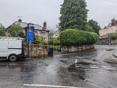
Walk for about seven minutes or a quarter of a mile up the twisting road. Follow the road as it bears left after the cemetery and then turn right at the yellow grit bin and Fron Bache sign as the road bends to the left again.
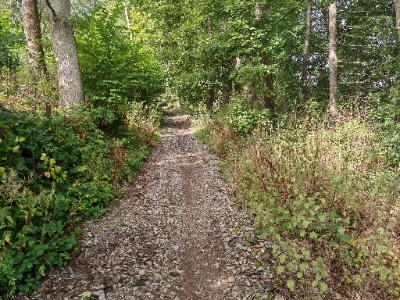
You’ll now stay on this track for the next mile and a quarter (or 45-50 minutes). You’ll pass a footpath going down to your right after about seven minutes, and it’s here that the North Berwyn Way starts its steep ascent for just over half a mile (2).
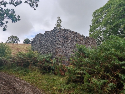
The incline softens a little as you dogleg left with the slate outbuilding to your right (3).
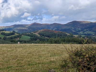
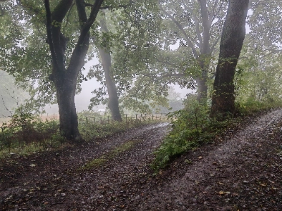
There are some stupendous views to your left about 10 minutes later as you look over the rolling hills (4).
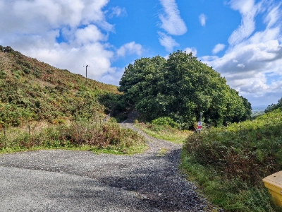
After the aforementioned mile and a quarter, turn right onto the country lane at the four-way “crosspaths” (5).
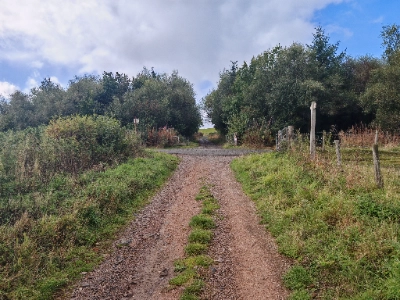
Walk down the lane for about 10 minutes or half a mile. Turn right onto the vehicle track with the grassy middle swathe beyond the yellow grit bin and the metal public footpath signpost with the No Motorbikes sign (6).
Tan-y-Bwlch Isa
You’ll be on this bridle path for the next 15-20 minutes or three-quarters of a mile. You’ll pass what looks like it might have been a small quarry on the right. The track narrows and gets a little overgrown for a while. I get the impression it would turn into a stream if you were doing this walk after a period of wet weather.
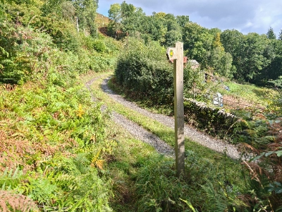
You’ll come to a short section where you have to part the bracken that is growing over the path – nothing too bad, though. Pass the wooden post with the directional arrows on it and turn left along another vehicle track (7).
This track leads onto another after a few minutes. Turn right and follow the path between the two houses – the left one is called Tan-y-Bwlch Isa (8).
Drover’s Trail
Follow the path ahead down the slope and through the gate. It’s slightly overgrown as you make the gentle descent, but nothing too bad. Turn left along the grassy track that resembles a drover’s trail just before the metal gate (9).
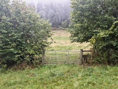
** The public footpath actually takes you over the stile by the gate and then up along a woodland path. However, it’s in a poor state and quite slippery, with parts of it crumbling and slanting rather steeply down towards the field. **
Walk along the grassy track (which resembles one of the many drovers’ trails we’ve seen in the area) for about seven or eight minutes. You’ll walk over a couple of concrete drains that run across the path. Turn at the end onto Vicarage Road again and immediately left down Willow Street (10).

Follow Willow Street for about five minutes down onto Hall Street, and turn right. Turn right and then left along the side street to the right of the Nisa, over the road and back into Market Street car park.
Congratulations! You’ve completed the walk!
We hope you enjoyed reading “Llangollen SouthWest Circular Loop”. Click here for more of our local walk articles.
