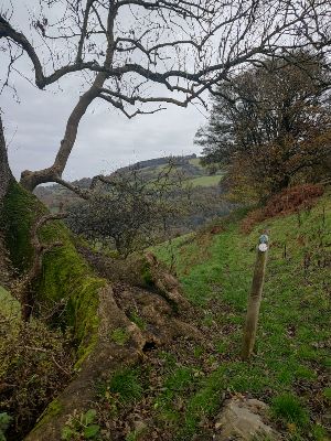
Although long stretches of the walk are along country lanes, two sections cover the Llwbyr Ceiriog Trail and offer spectacular views in and around Pontfadog.
As the title suggests, two of the climbs along the country lanes are pretty brutal and will have you gasping for breath. However, the view at the end of them is well worth the effort.
Starting Point
We started the walk in the hamlet of Pontfadog and headed north towards the River Dee and the Vale of Llangollen. We then turned west and walked along the same part of the Llwbyr Ceiriog Trail we covered in August. However, this particular walk takes you in the opposite direction.
The total ascent of the walk is about 1,380 feet. The highest point is just over 1,220 feet. The map is available online at explore.osmaps.com/route/19343381 if you have an OS Map subscription.
Overview
Underfoot conditions on the non-road sections were understandably quite muddy and the ground was quite soft throughout. Make sure you wear a good pair of boots. The walk is reasonably dog friendly, although you do pass through fields with sheep. You might have to lift a dog over some of the stiles.
It is about 6 miles long and will take about 3 to 3. hours. You must read and understand the disclaimer on our website before attempting any of our walks: love-wrexham.com/walk-disclaimer.
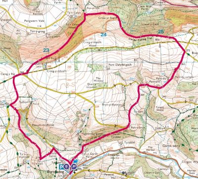
Pre-Walk Instructions
Head for the hamlet of Pontfadog on the road to (or from) Glyn Ceiriog on the B4500. You can park in the car park by the bridge opposite the Swan Inn and the Post Office (LL20 7BN; What3Words: reseller.stuffing.nanny).
Walk Directions
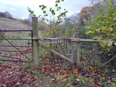
Walk across the road from the car park and walk to the right of the post office. Go up the street to the right of the Swan Inn and take the first right (at the 20mph sign). Pen-Y-Bryn and Bryn-YFfynnon You’ll be on this lane for just under a mile and a half (about 40 minutes). A bridleway (1), several tracks, and other lanes diverge from the road, but ignore them all.
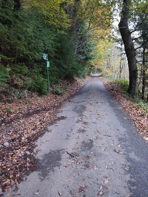
Part of it is quite steep and you’ll pass two farms –Pen-y-Bryn on your right after about 10 minutes, then Bryn-y-Ffynnon (2) about five minutes later. You’ll eventually reach a T-junction where the lane you’re on joins another one running across you (you’ll see a sign for “Pontfadog 1 1/2.”). Turn right here.
You’ll soon come to a familiar sight: The Plas Pennant buildings from our August walk, particularly noteworthy for the small bell tower on Capel Pennant (3) which graced the front cover of the magazine.
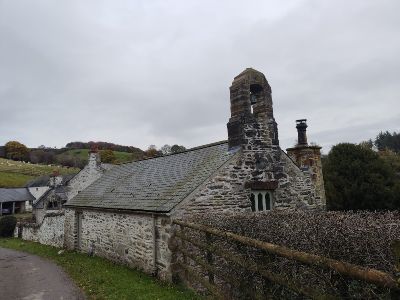
Plas Pennant
Walk between the Plas Pennant buildings and follow the road round to the left. As you go up the hill, you’ll see a white farmhouse (Pant-du) with an exposed stone gable end ahead of you on your left (4). The next stretch is pretty steep and lasts for about 10 minutes.
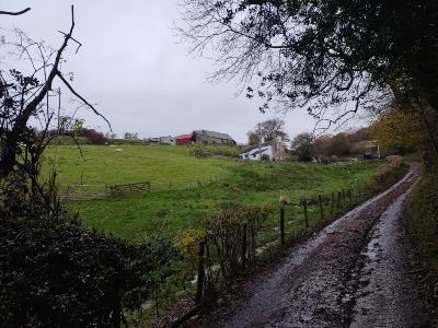
The road mercifully levels out and you’ll come to a crossroads with a “Give Way” sign. Turn left, but take a minute to admire the view across the plain to the northeast, including Frodsham Hill (5).
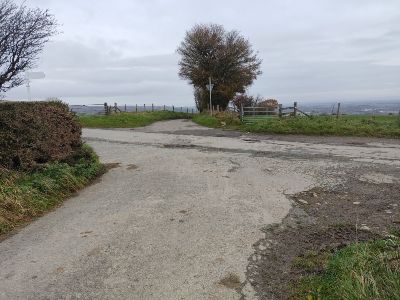
When you reach the T-junction with the road sign that says “Froncysyllte”, go through the gate in front of you (6). You are now on the Llwybr Ceiriog Trail. Walk along the stony track with the grassy middle section.
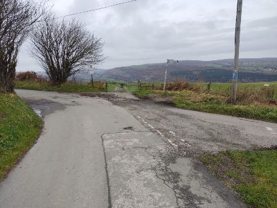
Ty’n Celyn Wood
Again, you may remember this section from August’s walk, although you are heading in the opposite direction. Follow the track for about a mile (or 20 minutes) until you come to a T-junction where you turn left (7).
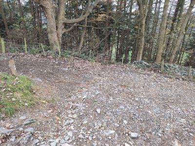
You’ll go through a couple of metal gates on your way. The section after the T-junction is just over a mile and will take about 30 minutes. Follow the track as it goes uphill and then through a pine forest (Ty’n Celyn Wood).
Presently on your right, you’ll see the amazing view down into Llangollen nestling beyond Pengwern Vale and to the left of the dramatic Pen-y-Coed hill (8).
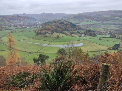
Two more metal gates mark the completion of this section. Turn right on the lane as you go through the second gate (9).
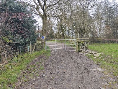
The Stream and Bridle Path
Walk along the lane and straight on across the staggered crossroads. Take the next left soon after at the junction, following the sign that says “Pontfadog”. Walk down the lane for about five minutes and turn left. Go through the gate on your right by the bridle path sign after about a minute (10).
Ford the stream and follow the path to the left. Go through a gate onto the bridle path. Follow the right-hand hedge, tree and fence line as it bends round to the right. You’ll see two tracks in the grass ahead of you. Take the lower one as you traverse the sloping field.
After the field and the path bend round to the left, you’ll find yourself at the top of the slope, which descends to your left. You’ll hear the river down to the left.
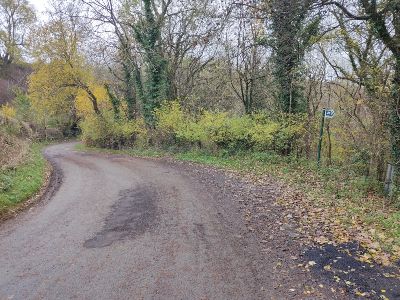
A Couple of Fallen Trees
Follow the path down the hill and through the metal gate (11). Continue along the path and it’ll bend round to the right slightly as you walk to the right of a line of a few trees.
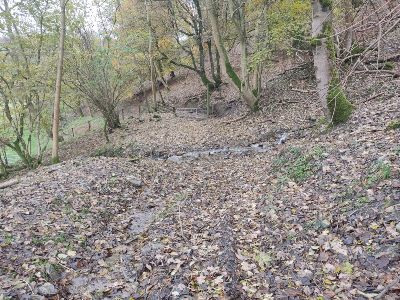
Continue along the path indicated by the way marker arrow on the short post, which has a definite list (12). Step over a couple of small fallen trees. The field continues to slope down to your left and you’ll see a wooded area above you and to your right on the other side of a fence/hedge. Go through two metal gates and turn left when you reach the lane.
Walk downhill for about five minutes and take a right. You’ll re-join the lane you started the walk on after about another five minutes.
Congratulations! You’ve completed the walk! If you liked reading ‘Pontfadog: Breathless Climbs and Breath-taking Views‘ why not see some more of our walks, here.
